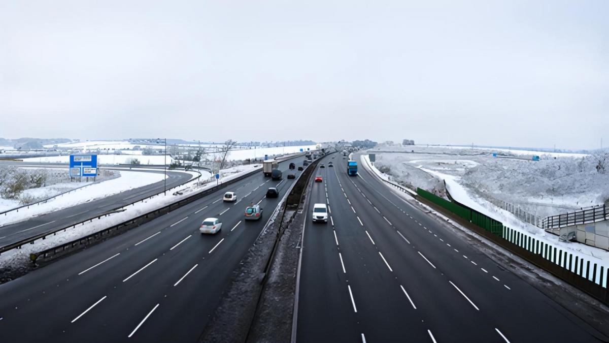
Transition to Colder Conditions On The Way
Colder weather looms for the UK, with Scotland facing the initial chill. Uncertainty surrounds the southward spread, and mild conditions prevail for now. But changes are on the horizon.
An end to the mild spell is now in sight. Colder air will push into Scotland by Wednesday of next week, and it currently looks probable that this colder air will move southwards to all parts of the country into next weekend. However, there is a fair amount of uncertainty over how quickly this colder air will push into southern Britain.
In particular, we are keeping an eye on the potential for a snow event for some on Friday and into Saturday of next week, which will be very sensitive to the speed at which the colder air pushes south. If the colder air stays locked over Scotland for longer, most places will see the precipitation before the colder air arrives, resulting in rain. Still, if the cold air comes south quickly and engages with the frontal system, there will be snow on the northern flank of the system.
The weekend
But this colder weather is still a fair way off, and today it will be mild and dry for the majority of the UK, with many areas also seeing some sunshine, especially in eastern Scotland and north-east England. A weak frontal system over southern Britain will result in a generally cloudy day in Wales, the Midlands, and south England, with some light rain and drizzle, particularly in Wales. However, many sheltered eastern parts will stay dry, and some sunshine will come through at times in the east of England. Some showers will affect the west of Scotland, with most of them staying to the north of the Glasgow area.
Temperatures will reach between 12 and 14C in East Anglia and south-east England, where mild air will be combined with some sunshine. It will be less mild to the north of the frontal system, and the showers in western Scotland will be wintry on high ground away from west-facing coasts. Nonetheless, it will not be particularly cold in the north either, with most of Scotland, Northern Ireland and northern England seeing highs between 7 and 9C.
It will be a mild night, as cloud and wind will increase from the west during the night, with rain pushing into Northern Ireland, western Scotland, and north-west England. Minimum temperatures of between 5 and 7C will be typical in most regions, but in south-east England and East Anglia, some places will not fall below 10C, making for an unusually mild night for the time of year.
Sunday will be a much cloudier day for most, although there is still potential for some sheltered eastern parts of Scotland and England to see some sunshine at times. There will be persistent rain in western Scotland, Northern Ireland and north-west England, although the rain will tend to clear away northwards from Northern Ireland and north-west England during the afternoon. Some brighter, showery weather will move into northern Scotland during the afternoon and evening. This will be associated with colder air, and showers will turn wintry on high ground in the north of Scotland, where maximum temperatures will generally be between 5 and 7C. But elsewhere, it will remain very mild, with temperatures reaching around 12 to 13C in eastern England.
Into next week
Monday will be a mild and very windy day, with persistent rain in northern Scotland and some substantial orographic enhancement over the high ground of north-west Scotland, where it will thus be particularly wet. It will be generally dry further south, but most areas will be cloudy, with some light rain and drizzle near west-facing coasts, though sheltered eastern parts may continue to see some sunshine. On Tuesday and Wednesday, the rain over northern Scotland will slowly push southwards through the rest of the country, with colder, brighter weather pushing in behind from the northwest. There will be some wintry showers in northern Scotland.
The main potential for disruptive weather sets in towards next weekend. Fronts will push in from the south-west on Thursday, introducing rain and milder air to England and Wales, and this is likely to result in some significant rainfall totals across a region of England and Wales, most likely the Midlands, northern England and north Wales, which could lead to some problems with flooding.
As colder air pushes in from the north through Friday and Saturday, there is potential for this to turn to snow on the northern flank, mainly on high ground, but potentially to low levels as well, depending on how quickly the cold air comes down from the north. There is potential for the rain to reach Northern Ireland, but probably only the south of the region. For Scotland, it looks set to remain cold and bright, with an increasing chance of snow showers in the north and east of Scotland.


