


Synoptic analysis: Turning colder later next week with an increasing risk of snow
A blog looking at how the current mild weather lasts into the first half of next week but then gets replaced by colder air later in the week, with an increasing risk of snow in places.
February is starting on a rather mild note across the UK, this afternoon temperatures were widely in double figures, the strong southwesterly wind dragging in mild air all the way from the Azores. The foehn effect of the Atlantic air in the lee of the Grampian Mountains across eastern Scotland and sunshine has brought the highest temperatures – with Aberdeen Dyce reaching 15C this afternoon, as well as a few spots in the Moray Firth further northwest.

However, although it will be mild through into early next week, it does look like it will turn colder from the north later next week, perhaps with some snow in places, as Atlantic lows moving into the colder air create battlegrounds somewhere over the UK. It looks like the cold air will win out by next weekend, but how long it stays cold and whether there will be further snow, remains very uncertain for now.
After a rather mild start to next week, eventually turning colder from the north by the end of the week
It looks to remain mild but blustery through the weekend away from the far north. A little cooler than today across northern areas on Saturday to the north of a cold front straddling east-west across England and Wales, temperatures reaching 7-10C, though only 5C in Shetland Islands. Mildest temperatures will be across the southern half of Britain -where it looks to reach 12-14C, but cloudier here with the some patchy rain moving east across Wales and the Midlands.
The frontal boundary lifts north on Sunday, with cloudy conditions and outbreaks of rain for Scotland and far north of England, dry and mostly cloudy to the south. Mildest temperatures across England, Wales and N. Ireland - reaching 12-14C. Scotland reaching 7-10C.
The strong and mild southwesterly wind continues into the beginning of next week, but the rain will continue across northern Scotland too on Monday, with rain totals beginning to add up here after a wet day on Sunday prior. NW Scotland could see in excess of 100mm. Potential for the rain to turn to snow too across the far north of Scotland as it bumps into cold air here. Mostly dry further south, cloudy in the west, sunny in the east. Temperatures widely in double figures.
The frontal boundary bringing rain across the far north will sink south through Tuesday, bringing a band of rain with it, which will arrive across northern England and Wales through the evening, southern England in the early hours of Wednesday before clearing south during the morning. Colder air following from the north across all parts through Wednesday. The airmass will be cold enough to support wintry showers across the far north and coasts of Scotland.
Cold front with a band of rain heads south on Tuesday, colder air following from the north across all parts by mid-week.
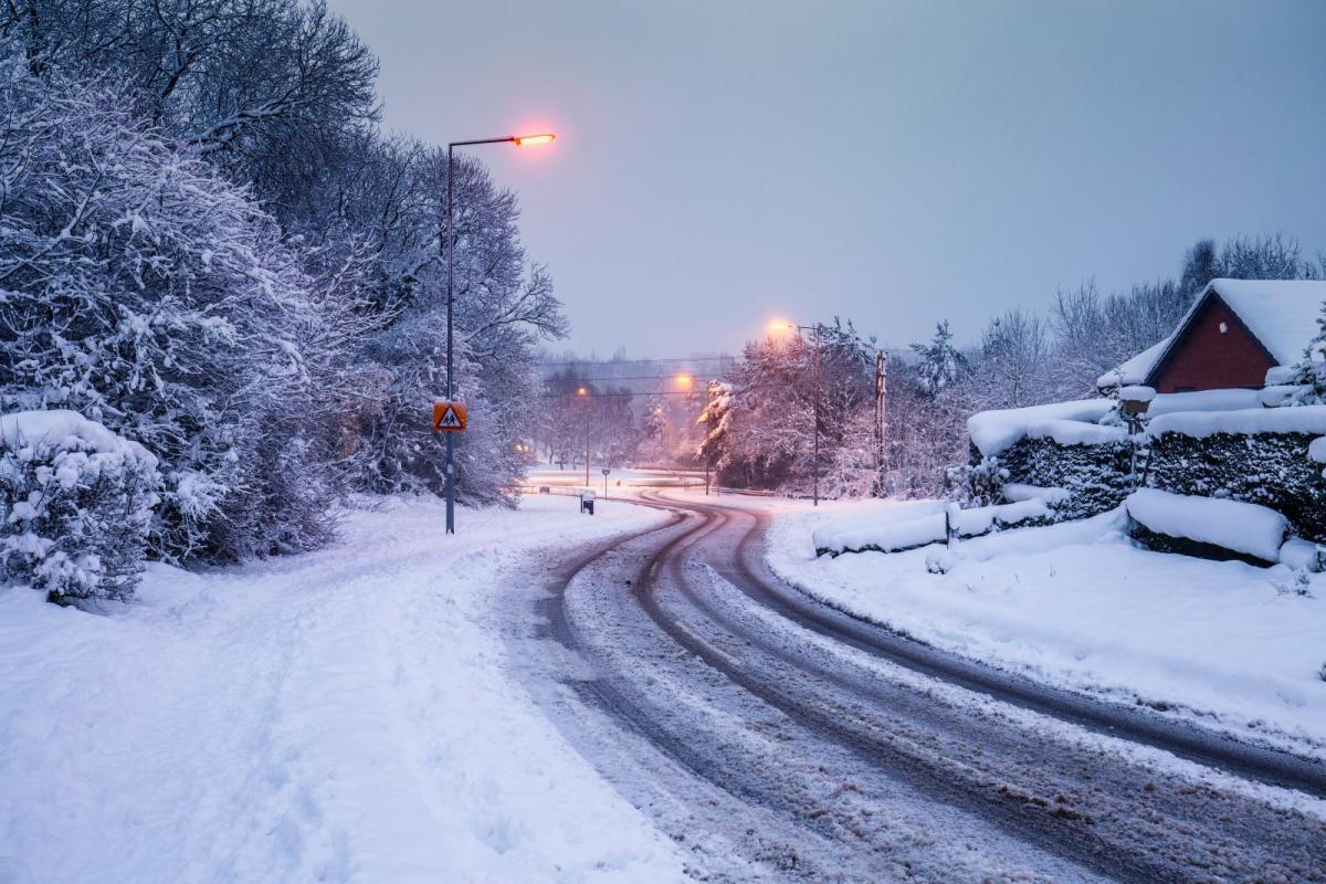
Some uncertainty after mid-week, with regards to how far south the colder arctic air arriving across Scotland will get. The uncertainty lies with track with an area of low pressure moving in from the Atlantic on Thursday, how far north or south the low track east or northeast will determine how far south the cold arctic air gets. The boundary between milder air pushing up from the southwest ahead of the low and cold air coming down the north at the same time could bring snow along the cold side of the boundary Wednesday night and Thursday. Most favoured areas appear to be central or northern areas. But if the low tracks further south, it could end up being central or southern areas – but a lower risk for these areas for now.
Battleground looks to develop between cold and mild airmasses later next week, snow likely on the northern side of the boundary. Where the boundary ends up is uncertain, and will move around:
06z GFS had mild/cold air boundary, with snow on northern side, further south than most recent 12z GFS operational run:
Of course the timing, track and even existence of this low may all change, given how far off second half of next week is. Models tend to agree the cold arctic air flooding south across all parts next Friday, as the low clears east from southern UK. Potential for some back-edge snow as the low clears, depending on how cold the air is undercutting the rain wrapping around the low as it clears. The cold air then looks to win out and hang around through next weekend, perhaps with further risk of snow in places, but how long the cold air hangs around is very uncertain for now.
So, definitely a signal for snowfall later next week, but where and exactly when is uncertain. Northern areas most favoured for now, but this may change if the low(s) and their fronts and air cold enough for snow spreads further south too. We’ll keep you posted and update nearer the time as the models begin to agree more on where it might snow.
Check Your Latest Local Weather Forecast
Site Search